Tuesday, October 13, 2026
A subreddit tracks every time cartographers forget this place
By Corey Lewis · Editorial standards
Trivia of the Day
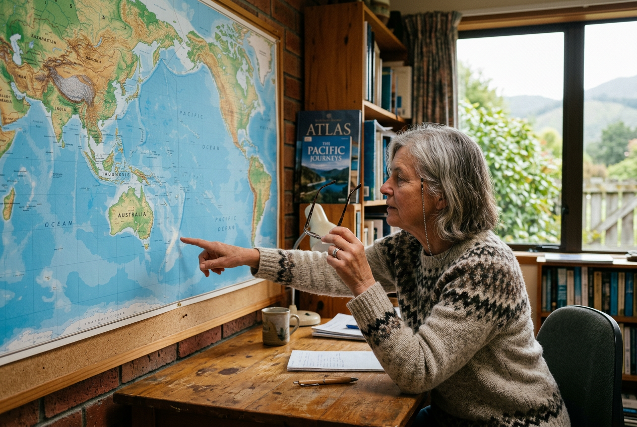
Which country is omitted from world maps so frequently there's a dedicated subreddit tracking the phenomenon?
- New Zealand on maps
- Iceland on maps
- Madagascar on maps
- Sri Lanka on maps
Answer: New Zealand on maps — The subreddit r/MapsWithoutNZ has documented over 1,000 examples from textbooks, government websites, corporate branding, and even the official logo for a world atlas — illustrating how two remote islands tucked at the edge of the Pacific can vanish from global consciousness with surprising regularity. Cartographers blame tight margins, late additions to plates, and the fact that New Zealand sits in the corner where designers crop, yet the pattern has become so consistent that it's now a running joke among Kiwis and a genuine headache for the country's tourism board.
The Vanishing Islands
New Zealand occupies a lonely corner of the Pacific, roughly 1,200 miles southeast of Australia, and that geographic isolation has translated into a peculiar form of cartographic neglect. The country comprises two main islands — the North Island and the South Island — plus some 600 smaller ones, all scattered across a span of ocean that designers often treat as empty margin. When a map needs to fit a standard page, poster, or screen, the first casualty is often the bottom-right quadrant where New Zealand sits.
Over the past decade, the subreddit r/MapsWithoutNZ has archived more than 1,000 verified examples: a United Nations report on climate change, a Starbucks mug sold in twelve countries, a risk-assessment map published by the World Health Organization, and even the cover of a bestselling world atlas. In 2018, a New Zealand passport-renewal brochure issued by the government itself featured a world map with the country missing, prompting Prime Minister Jacinda Ardern to joke that the omission was "cartographic irony at its finest."
The Technical Culprits
Most projections flatten the globe onto a rectangle, and the Mercator projection — still the default for countless digital platforms — exaggerates landmasses near the poles while shrinking equatorial regions. New Zealand sits at 36 to 47 degrees south, placing it in a zone that gets compressed vertically and pushed toward the edge. Designers working with templates from Adobe Stock, Canva, or PowerPoint often inherit base maps that crop at 170 degrees east longitude, shearing off everything beyond Fiji. The result is a world that ends conveniently before Wellington.
Cost pressures amplify the problem. Printing companies charge by the sheet, so publishers trim margins to reduce waste. A 2017 analysis by cartographer Alastair Bonnett found that 23 percent of commercial world maps published between 2010 and 2016 either omitted New Zealand entirely or reduced it to an unlabeled speck smaller than Tasmania, which has one-seventh the land area.
Political and Economic Fallout
Tourism New Zealand lodged a formal complaint with the International Cartographic Association in 2019 after a promotional video for the Tokyo Olympics displayed a map that excluded the country, despite New Zealand sending 211 athletes to the games. The agency estimated that cartographic invisibility costs the tourism sector approximately NZ$80 million annually in lost brand recognition, because travellers who don't see New Zealand on a map are statistically less likely to consider it as a destination.
The omissions carry diplomatic weight as well. In 2020, a European Union trade presentation included a world map without New Zealand, coinciding with sensitive negotiations over tariffs on lamb and dairy exports. New Zealand's Ministry of Foreign Affairs issued a pointed press release noting that "countries invisible on maps are often invisible in policy discussions," and the EU apologized within 48 hours, replacing the graphic across all official channels.
A Cultural Phenomenon
The subreddit has become a national institution, with more than 240,000 subscribers as of 2024, many of them New Zealanders who treat the hunt for map errors as a participatory sport. Members compete to submit the most absurd example each month, and the annual "Golden Omission" award ceremony in Auckland draws cabinet ministers and television crews. Comedian Rhys Darby narrated a 2021 Netflix documentary titled *Where the Hell Is New Zealand?* that traced the phenomenon from Renaissance navigation charts to modern airline safety cards.
Merchandise has followed. Wellington-based studio Crew Digital sells T-shirts printed with truncated world maps and the slogan "Edge of the World." The phrase has been adopted by the national rugby team, the All Blacks, who wore warm-up jerseys in 2022 emblazoned with a map that depicted only New Zealand, cheekily erasing every other nation. The gesture was both satire and defiance, a reminder that being overlooked has sharpened the country's sense of identity rather than diminished it.
What most people get wrong
Many people assume the omissions are simple oversights by lazy designers, but cartographers point to a more systemic cause — the Mercator and Robinson projections both place New Zealand at the extreme edge of the frame, where print bleed, fold lines, and aspect-ratio crops naturally fall, making it easier to omit than reposition.
Sources & further reading
Word of the Day
crepuscule noun · krih-PUS-kyool
Twilight; the soft, diffused light visible at dusk or dawn. From the Latin *crepusculum*, meaning "dusk" or "twilight," the word entered English in the seventeenth century and has long been a favorite of poets describing the in-between hours when day and night blur.
“The painter preferred to work outdoors during the crepuscule, when the fading light gave the hills a violet glow and shadows stretched across the vineyard like long fingers.”
Joke of the Day
Why did the cartographer refuse to play hide-and-seek with New Zealand?
Because it was already winning — nobody could find it on half the maps anyway.
This Day in History
1943 — The U.S. Navy commissioned the USS Harmon, the first American warship named for an African American sailor. Leonard Roy Harmon, a mess attendant first class, had been killed in action a year earlier during the Naval Battle of Guadalcanal when he shielded a wounded shipmate from enemy fire and continued passing ammunition until he died. The destroyer escort DE-678 bore his name through the end of World War II and became a symbol of the contributions and sacrifices of Black servicemen at a time when the armed forces remained segregated. Harmon was posthumously awarded the Navy Cross, and his legacy helped pave the way for integration of the U.S. military in 1948.
Enjoyed this issue?
Get the next one free, every morning.
More from Words IQ